
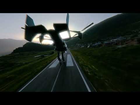
GarudX Studio is Nepal's leading VFX and 3D reconstruction company, serving the film industry, commercial production houses, and cultural heritage institutions. Our visual effects team delivers broadcast and cinema-grade VFX compositing for Nepali feature films, TV commercials, and international productions — from jet-landing sequences to Himalayan aerial composites. In 3D reconstruction, we use drone-based photogrammetry and LiDAR scanning to create millimetre-accurate digital twins of buildings, statues, temples, and cultural artefacts — preserving Nepal's irreplaceable heritage in the digital world permanently. Our pipeline runs from data capture through Agisoft Metashape and CloudCompare to final delivery in Unreal Engine 5, Blender, or CAD formats. We have scanned heritage sites, reconstructed ancient statues, and created 3D projection-mapping shows — making GarudX the only company in Nepal offering the full range from field scanning to immersive digital display.
What we deliver.
Our process.
Scan & Capture
Drone aerial photogrammetry, ground-level LiDAR scanning, and multi-angle image capture of the subject.
Reconstruction
Point-cloud generation, mesh reconstruction, texture mapping, and accuracy verification against ground truth.
VFX / Creative
CGI compositing, environment building in UE5, projection-mapping setup, or VFX integration for production.
Delivery
Export to required format (OBJ, FBX, USD, GeoTIFF, LAS) with full documentation and integration support.
Tools & hardware.
Use cases.
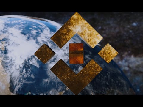
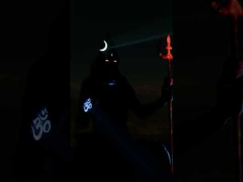
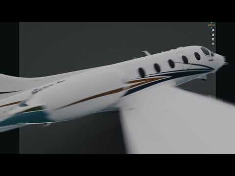
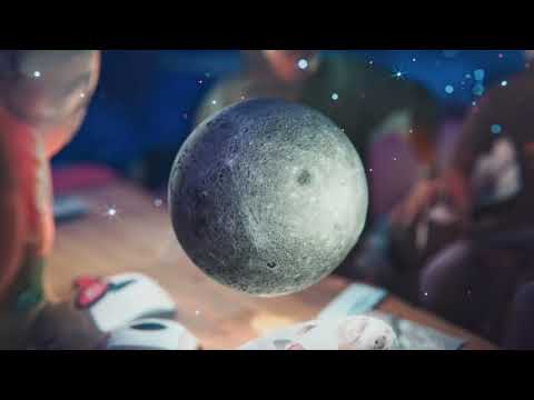
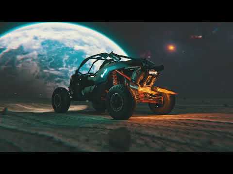
VFX & 3D Reconstruction Demo Reel
From point clouds to photorealistic renders — see our end-to-end 3D reconstruction and VFX compositing pipeline.
Project portfolio.
Ready to get started?
Talk to our team about how VFX & 3D Reconstruction can transform your operations.
Request Demo